Space
Method.
Site levels · Boundaries · Visible features
Topographic surveys
Topographic surveys for architects, planning teams and developers, recording site levels, boundaries, hard landscaping, visible features and agreed building context.
The service
Clear technical work.
Useful outputs.
A topographic survey creates a coordinated plan of the existing site. Depending on the brief, it can record spot levels, changes in level, boundaries, walls, fences, kerbs, surfaces, trees, visible inspection covers, street furniture and building footprints.
Before attending site, we agree the purpose, survey extent, required features, accuracy, coordinate system, datum and final drawing formats. The resulting information can support planning, design, access, landscape and drainage coordination.
The survey records accessible and visible conditions within the agreed scope. It does not establish legal ownership boundaries, verify concealed construction or locate underground utilities unless specialist work is separately commissioned.
When this service is useful
- Planning applications and site design
- Extensions and new development
- Landscape and access coordination
- Existing-site and level records
What you receive
- Coordinated topographic survey plan
- Spot levels and contours where specified
- Boundaries, surfaces and visible site features
- PDF and editable DWG files in the agreed coordinate system
Common questions
What does a topographic survey show?
The agreed plan may show levels, contours, boundaries, walls, fences, kerbs, surfaces, trees, visible covers, street furniture and building outlines. The exact features are confirmed before the survey.
Does it confirm the legal boundary?
No. It records the physical features observed on site. Legal boundary determination and title interpretation are separate specialist services.
Are underground utilities included?
Visible covers and service features can be recorded, but underground utility detection and tracing are not included unless separately commissioned.
Which files can be supplied?
Typical outputs are PDF and DWG plans. Coordinate system, datum, scale, layers and any additional data formats are agreed for the project.
Topographic survey examples
Two anonymised portfolio extracts showing recorded site levels, boundaries, surfaces, visible features and building context. The sheet borders and title blocks have been removed for presentation.
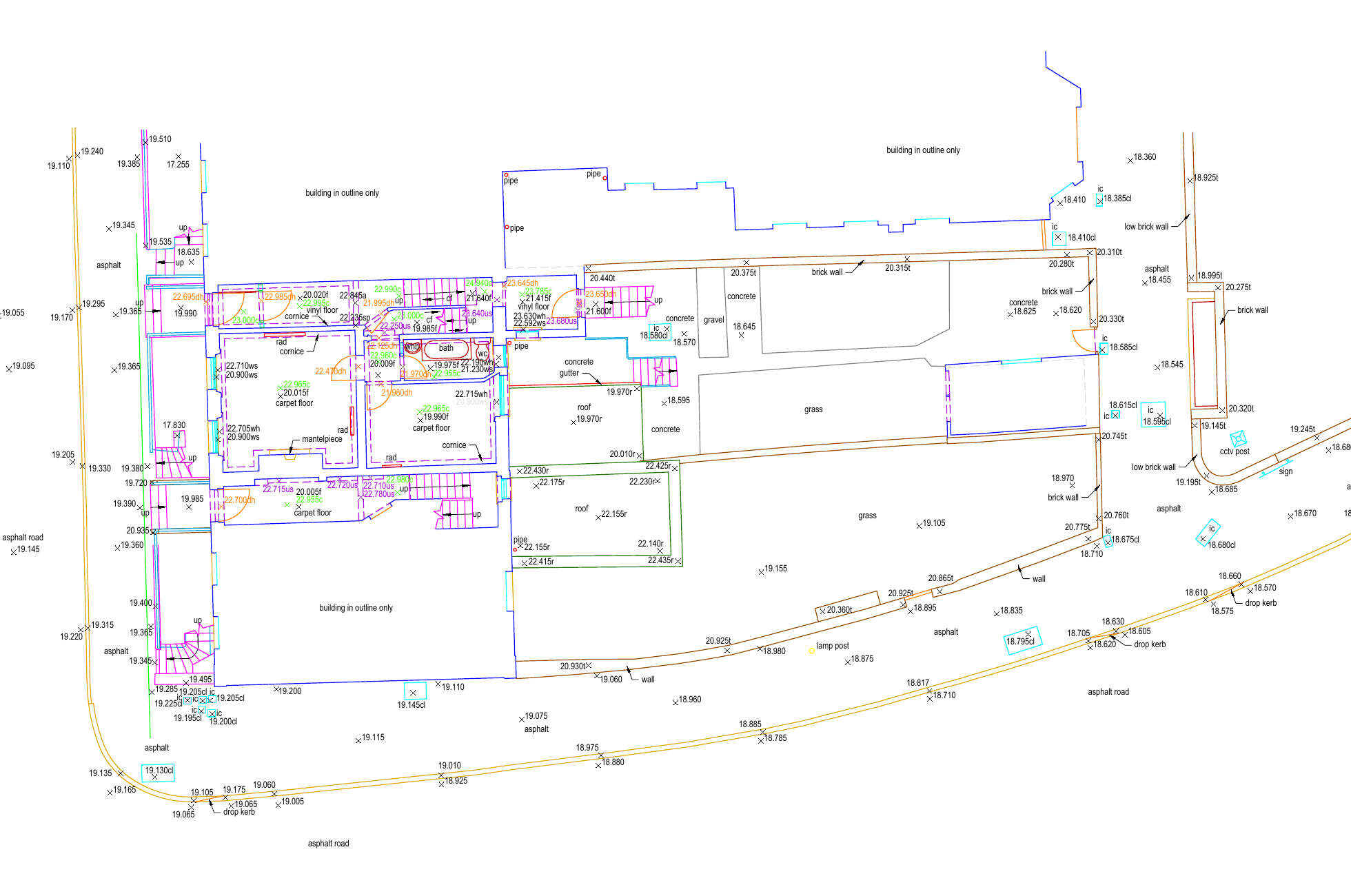
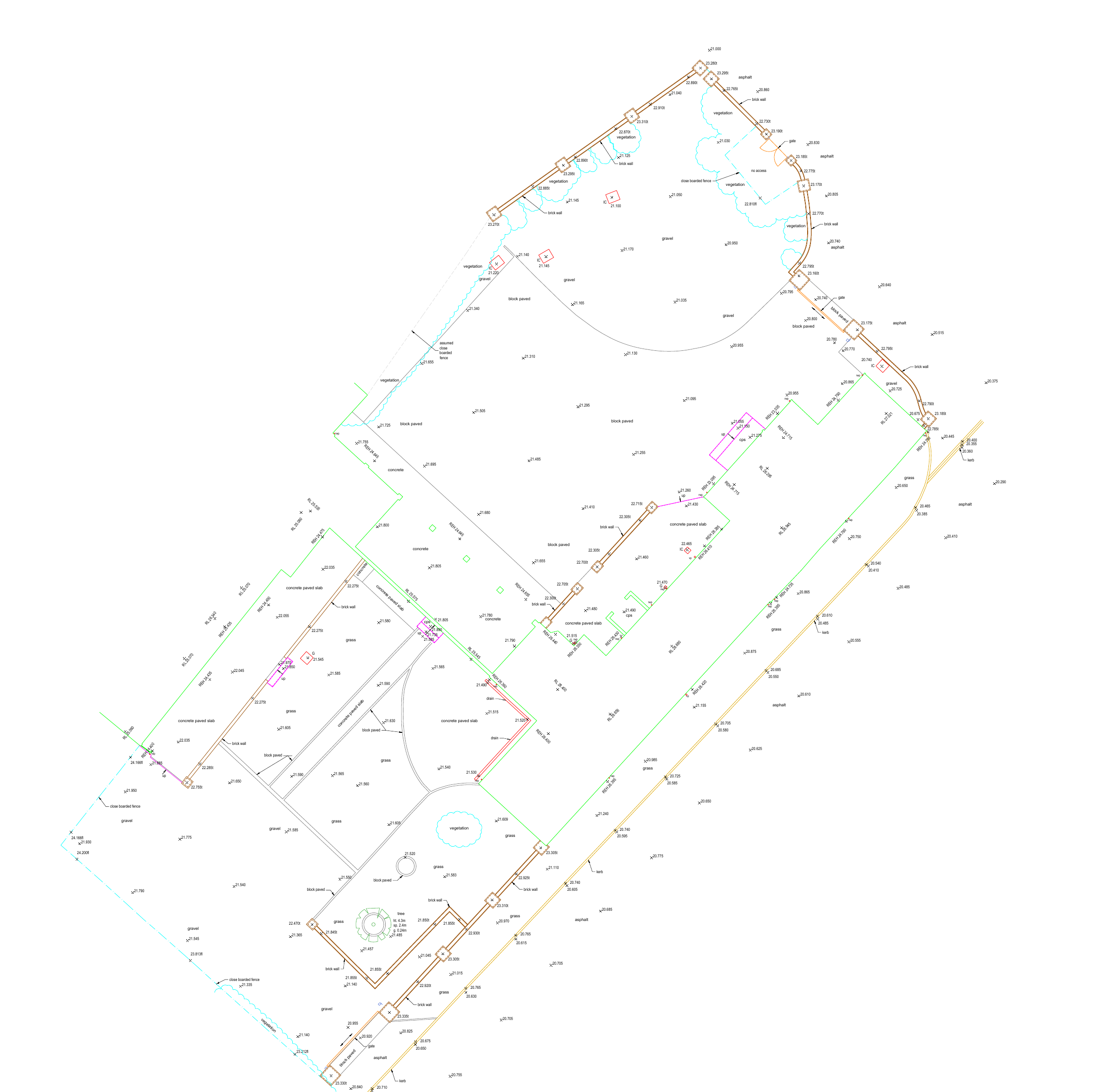
Portfolio extracts only. Not to scale on screen and not for construction. Survey content, accuracy, coordinate system and deliverables are agreed for each commission.
Read what a topographic survey includesStart a project